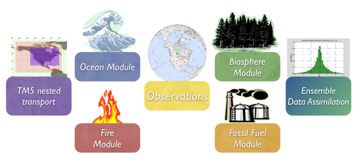
1. Introduction
Vegetation fires are an important part of the carbon cycle and have been so for many millennia. Even before human civilization began to use fires to clear land for agricultural purposes, most ecosystems were subject to natural wildfires that would rejuvenate old forests and bring important minerals to the soils. When fires consume part of the landscape in either controlled or natural burning, carbon dioxide (amongst many other gases and aerosols) is released in large quantities. Each year, vegetation fires emit around 2 PgC as CO2 into the atmosphere, mostly in the tropics. Currently, a large fraction of these fires is started by humans, and mostly intentionally to clear land for agriculture, or to re-fertilize soils before a new growing season. This important component of the carbon cycle is monitored mostly from space, while sophisticated 'biomass burning' models are used to estimate the amount of CO2 emitted by each fire. Such estimates are then used in CarbonTracker to prescribe the emissions, without further refinement by our measurements.
2. Detailed Description
The fire module currently used in CarbonTracker is based on the Global
Fire Emissions Database (GFED), which uses the CASA biogeochemical
model as described in the terrestrial biosphere model
documentation to estimate the carbon fuel in various biomass
pools. The dataset consists of 1° x 1° gridded monthly burned
area, fuel loads, combustion completeness, and fire emissions (Carbon,
CO2, CO, CH4, NMHC,
H2, NOx, N2O, PM2.5, Total Particulate Matter, Total Carbon,
Organic Carbon, Black Carbon) for the time period spanning January
1997 - December 2009, of which we currently only use CO2.
In 2010, the GFED team switched the satellite product driving the
CASA terrestrial productivity submodel from AVHRR
NDVI to the MODIS
fPAR product. For CT2010, we use fire emissions from
the NDVI-driven GFED version 2 for the period 2000-2006,
and fire emissions from the fPAR-driven GFED 3.1 for the
period 2007-2009.
The GFED burned area is based on MODIS
satellite observations of fire counts. These, together with detailed
vegetation cover information and a set of vegetation specific scaling
factors, allow predictions of burned area over the time span that
active fire counts from MODIS are available. The relationship between
fire counts and burned area is derived, for the specific vegetation
types, from a 'calibration' subset of 500m resolution burned area from
MODIS in the period 2001-2004.
Once burned area has been estimated globally, emissions of trace gases are calculated using the CASA biosphere model. The seasonally changing vegetation and soil biomass stocks in the CASA model are combusted based on the burned area estimate, and converted to atmospheric trace gases using estimates of fuel loads, combustion completeness, and burning efficiency.
3. Further Reading
- CASA with fires model overview
- CASA results from Jim Randerson
- GFED2 results from Guido van der Werf, Jim Randerson, and colleagues
- Giglio et al., 2006 paper
- Interannual variability in global biomass burning emissions from 1997 to 2004, G. R. van der Werf, J. T. Randerson, L. Giglio, G. J. Collatz, P. S. Kasibhatla, and A. F. Arellano Jr., Atmospheric Chemistry and Physics 6: 3423-3441 Aug 21 2006.
|