The U.S. government is closed. This site will not be updated; however, NOAA websites and social media channels necessary to protect lives and property will be maintained.

To learn more, visit commerce.gov.

For the latest forecasts and critical weather information, visit weather.gov.

Observation Sites

Select single site by:
or Select multiple sites by:
or by:

Reset

Yellow markers indicate discontinued sites

Goodwin Creek, Mississippi, United States [GWN]

site location map

Location

  • Country: United States Country Flag
  • Latitude: 34.2547° North
  • Longitude: 89.8729° West
  • Elevation: 98.00 masl
  • Time Zone: Local Standard Time + 5.0 hour(s) = UTC

Data

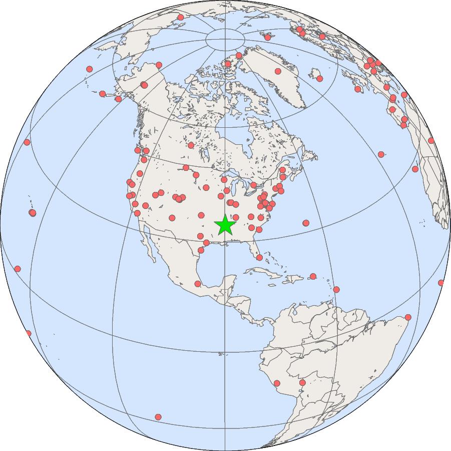
The Goodwin Creek SURFRAD station is located on rural pasture land about twenty miles west of Oxford, Mississippi.

GML Projects at Goodwin Creek, Mississippi

Surface Radiation Budget Monitoring

Meteorology