
Hegyhatsal, Hungary [HUN]
Location
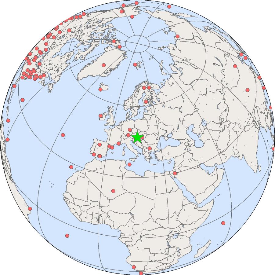
- Country: Hungary

- Latitude: 46.9559° North
- Longitude: 16.6521° East
- Elevation: 248.00 masl
- Time Zone: Local Standard Time + -1.0 hour(s) = UTC
Data
Cooperating Agencies
The TV and radio transmitter tower (owned by Antenna Hungaria Corp.) is located in a flat region of western Hungary. The tower is surrounded by agricultural fields (mostly crops and fodder of annually changing types) and forest patches. The distribution of vegetation types (60% arable land, 30% forest and woodland, 10% other) within 10 km of the tower is not greatly different from the average for the Western Hungarian Landscape Unit or the whole country (85% of the area is cultivated, 77% of which is agricultural and 23% is forest).
GML Projects at Hegyhatsal
| Parameter | Formula | First Sample Date | Status |
|---|---|---|---|
| Carbon Dioxide | CO2 | 1993-03-02 | Ongoing |
| Methane | CH4 | 1993-03-02 | Ongoing |
| Carbon Monoxide | CO | 1993-03-02 | Ongoing |
| Molecular Hydrogen | H2 | 1993-03-02 | Ongoing |
| Nitrous Oxide | N2O | 1995-11-15 | Ongoing |
| Sulfur Hexafluoride | SF6 | 1995-11-15 | Ongoing |
| Carbon-13/Carbon-12 in Carbon Dioxide | d13C (CO2) | 1993-03-02 | Ongoing |
| Oxygen-18/Oxygen-16 in Carbon Dioxide | d18O (CO2) | 1993-03-02 | Ongoing |