
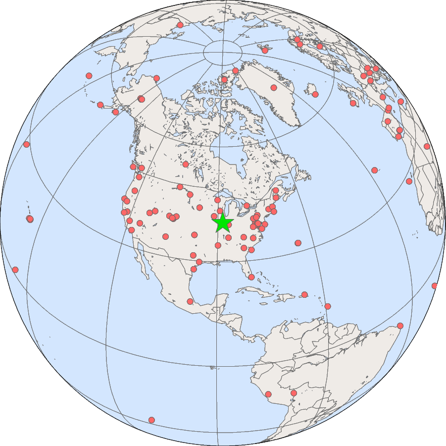
SURFRAD Network: Bondville, IL
The SURFRAD station in Bondville is located in an agricultural region about ten miles southwest of Champaign, Illinois.
| Bondville, Illinois | |
|---|---|
| Latitude: | 40.05192 degrees North |
| Longitude: | 88.37309 degrees West |
| Elevation: | 213 meters |
| Time Zone: | Local Time + 6 hours = UTC |
| Installed: | April 1994 |
| SURFRAD data from the Bondville site. | |
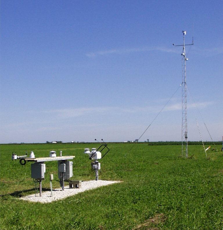
View of the SURFRAD instruments. On the left is the main platform, the solar tracker is in the center,
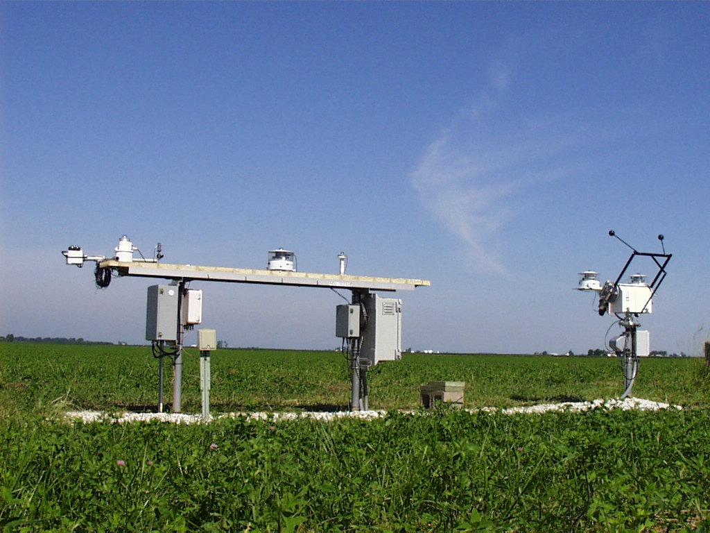
The downwelling instruments on the main platform (left) at Bondville.
Shown, from left to right, are: Yankee Environmental Systems (YES) UVB-1
Ultraviolet Pyranometer, ventilated pyranometer, and
LI-COR Photosynthetically Active Radiometer (PAR). The Sci-Tec 2AP
Solar Tracker is to the right.
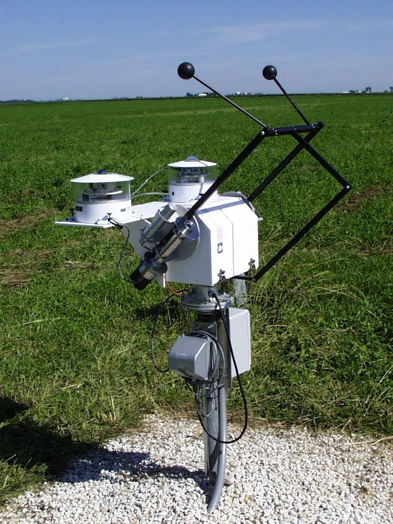
The Sci-Tec 2AP solar tracker, just
north of the main instrument platform. On the shading platform of the
tracker, a shaded and ventilated Eppley pyrgeometer (left) measures downwelling
infrared irradiance. To the right is a shaded and ventilated
pyranometer for measuring diffuse solar irradiance. Mounted on the near side
of the tracker just below the tracker's quadrent sensor is an Eppley normal
incidence pyranometer for measuring direct solar radiation. The quadrant sensor
is used by the tracker to keep it aligned with the sun.
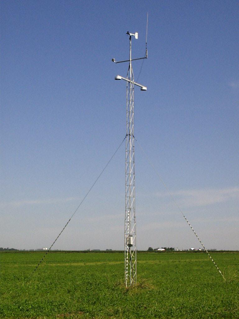
The SURFRAD ten-meter tower, located approximately 30 m north of the main
instrument platform. The tower contains an RM Young wind monitor, a Vaisala
temperature and relative humidity sensor, and a pyrgeometer
and a pyranometer, both facing downward, for measuring upwelling infrared and solar radiation,
respectively.
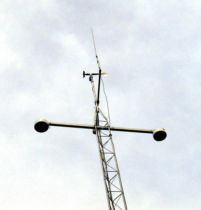
A close-up of the tower-mounted instruments.
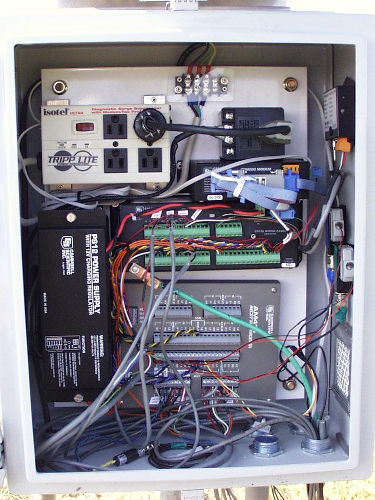
Inside the data logger box. The newly improved
system contains a rechargeable battery, CR10X data logger, multiplexer,
modem, and pressure sensor.