The Data: Sampling Location
Location is Everything
When buying a plot of land on which to build your house, location is everything. Distance from a busy street or from the closest town is often the deciding factor. Surprisingly, these are also key components in determining where to place an air collection site. The distance from major pollution sites–such as a town, coal plant, or even a busy highway–and the most common wind direction at the site ultimately determine the atmospheric information that scientists can gather from the area.
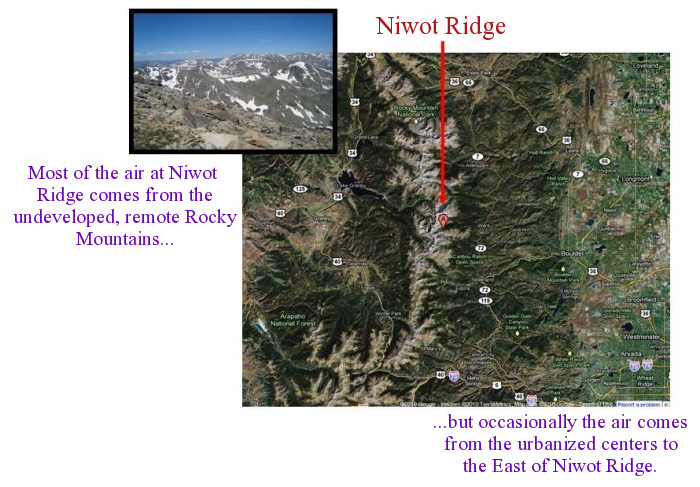
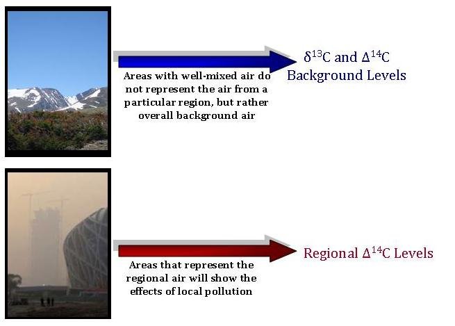
Depending on the type of information NOAA scientists hope to measure, scientists carefully choose their sample sites. If looking for information on the background carbon dioxide levels and isotopic ratios, atmospheric scientists collect their air samples from remote locations. These areas have well-mixed air that isn't “spiked” with carbon dioxide from a local source of pollution. The air here is, instead, representative of the background air for a large region. One such sample site is Niwot Ridge, Colorado. Located at a remote location of over 11,500 ft in elevation, the wind here nearly always comes from the west, and from high altitudes. Therefore, the wind brings air from the extremely undeveloped Rocky Mountains and desert to the west, rather than from the urbanized “Front Range” region to the east, where most of Colorado's population lives. This provides good estimates of the background carbon dioxide levels and isotopic ratios, rather than the values that scientists would find at more polluted regions.

However, when scientists want to study how pollution from a developed area affects the atmospheric carbon dioxide levels, they need a study site located just perfectly in relation to the source of pollution and the prevailing wind direction. For example, when studying how a city's pollution levels change depending on the season, the site should contain air that is representative of the entire city, rather than, say, just the suburbs of the city or the downtown area. Therefore, the site should be far enough away from the city that the air contains a mixture of air from the entire city vicinity, but close enough that the effects of the pollution are still clear.
In comparison to Niwot Ridge, the Tae-Ahn Peninsula, South Korea (TAP) site shows the pollution effects of regional development and population. TAP is located on a small peninsula sticking out into the Yellow Sea – the body of water between Northern China and the Korean Peninsula. Depending on the wind patterns, the air brings in regional pollution from Korea, or pollution from further upwind in Northern China, often “seeing” air from Beijing and the surrounding region. Occasionally, the wind brings air that has recently passed over Japan as well. This site would give very poor measurements of background carbon dioxide values, but, instead, the site is vital in studying fossil fuel emissions from parts of South Korea and China.


 Previous
