GML Water Vapor
Boulder, Colorado
Latitude: 39.9491°N Longitude: 105.1973°W Elevation: 1743 masl
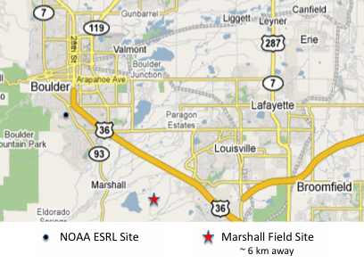
We have launched balloons carrying radiosondes, ozonesondes and FPHs from Boulder since 1980. Our launch operation site is the Marshall Field Site of the National Center for Atmospheric Research (NCAR). Our infrastructure there is a high-ceiling balloon inflation facility (with helium supply) and a detached trailer with antenna, receiver, and computer. Before payload launch we perform checks of the radiosonde data transmission and reception at Marshall. Pressure, temperature and relative humidity measurements by the radiosonde are also ground-checked against real-time readouts from met sensors at the NCAR Winter Weather Experiment (WWE) at Marshall.


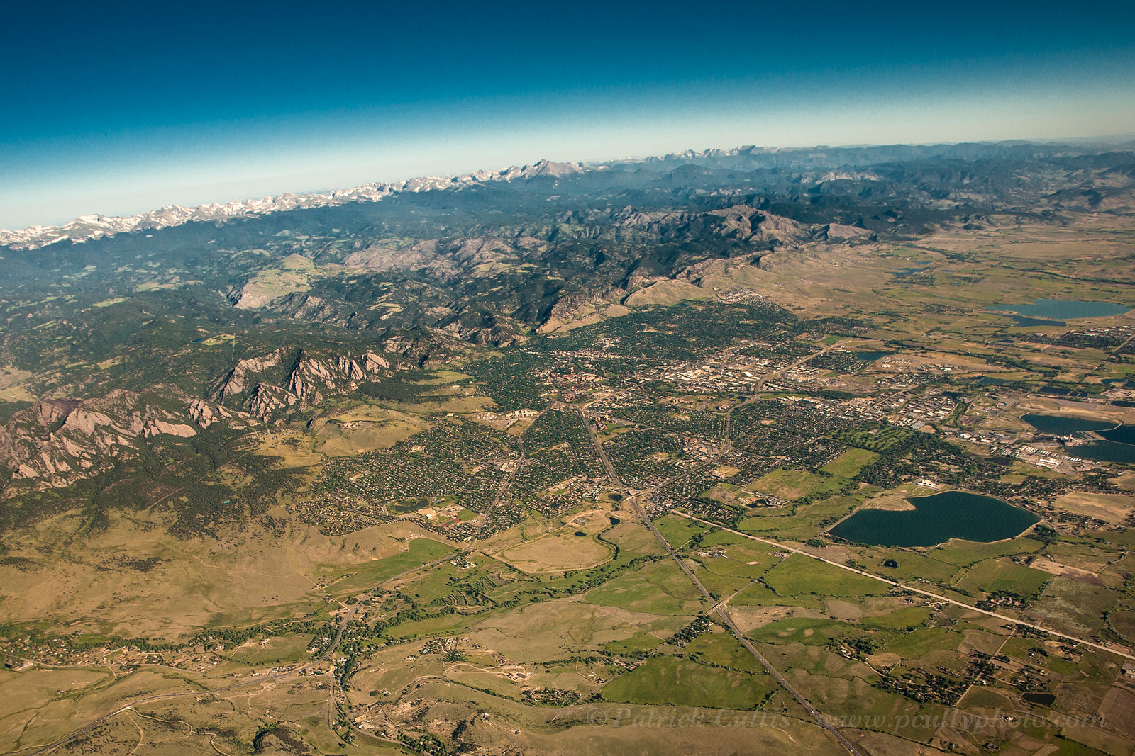
Aerial view of Boulder from directly above the Marshall field site. Photo credit: Patrick Cullis (patrick.cullis@noaa.gov)
